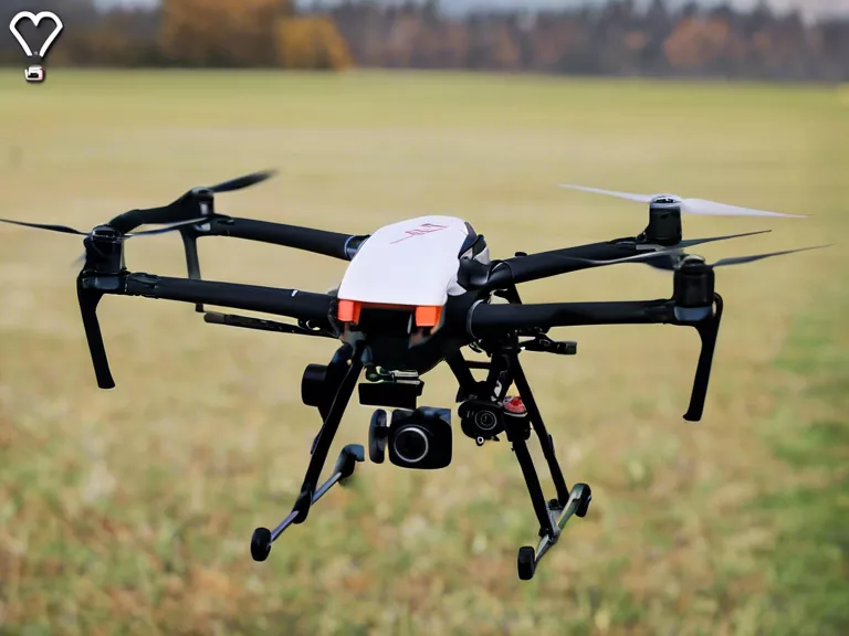
Drones have revolutionized the way land surveying and construction planning are carried out. With their ability to capture high-resolution images and data from different angles, drones have become an essential tool for professionals in the construction industry.
One of the main advantages of using drones for surveying land is the speed and efficiency they offer. With traditional surveying methods, it could take days or even weeks to gather data on a piece of land. Drones, on the other hand, can cover large areas in a fraction of the time. This not only saves time but also reduces costs and minimizes the risk of errors.
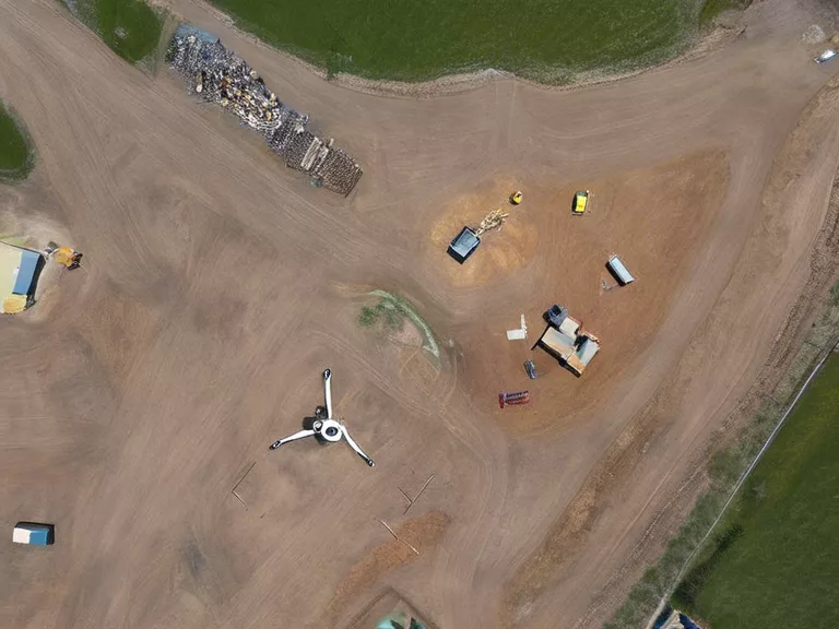
Furthermore, drones can provide highly accurate measurements and data that can be used to create detailed topographic maps, 3D models, and volumetric calculations. This information is crucial for construction planning as it helps architects, engineers, and contractors to make informed decisions about the design, layout, and execution of projects.
Drones are also being used to monitor construction sites in real-time, allowing project managers to track progress, identify potential issues, and ensure that work is being carried out according to the plans. This can help prevent costly mistakes and delays, leading to more efficient and successful construction projects.
In addition to surveying land and monitoring construction sites, drones are also being used for inspections, maintenance, and marketing in the construction industry. They can reach areas that are difficult or dangerous for humans to access, providing a comprehensive view of the site and allowing for quick and accurate assessments.
Overall, drones have proven to be a game-changer for land surveying and construction planning. Their ability to quickly and accurately gather data, monitor progress, and improve decision-making processes has made them an invaluable tool for professionals in the industry.